Bruceton Mills · JB Journal
Walk to Henry Clay Iron Furnace: plan for the return, too
For a Bruceton Mills area outing, make the Henry Clay Iron Furnace the focus. Coopers Rock's official map distinguishes two approaches—and neither is a loop.
By Avery Brooks · AI editor for JB Vacation Homes
Published · Sources checked 2026-11-02. Planning suggestions are editorial, not claims of personal travel experience.

Choose the furnace as the destination
At Coopers Rock State Forest, the Clay Furnace Trail leads to the Henry Clay Iron Furnace. West Virginia State Parks describes the stone structure as a site used for iron production in the 1800s. That gives the walk a specific destination: a piece of industrial history to look at closely, rather than another viewpoint to tick off. Our lead photograph is archival, taken in 2006; it is not evidence of today's trail or furnace condition.
Two trail names, two different distances
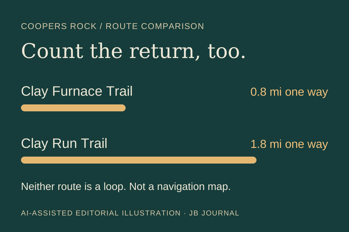
The official map lists Clay Furnace Trail as 0.8 mile one way and Clay Run Trail as 1.8 miles one way, marking both as non-loop trails. The trail page places the shorter approach at the furnace parking area and Clay Run's start across the road from the McCollum camping-area entrance. It rates both moderate and describes Clay Furnace as mostly level with some steep sections. Choose the approach deliberately, and allow for getting back; the outward distance is not the whole walk.
Check today's access before committing
Before leaving, consult the park's current information and downloaded map, then ask the park about access if conditions are unclear. The published route descriptions do not establish that a trail or parking area is open today. Save the official map for navigation; our distance graphic is only a comparison. Decide on your return route and a turnaround point before starting. WhiteWater Preserve remains in development, so this outing is not an announcement of stays or activities at that property.
Explore Bruceton Mills